Description
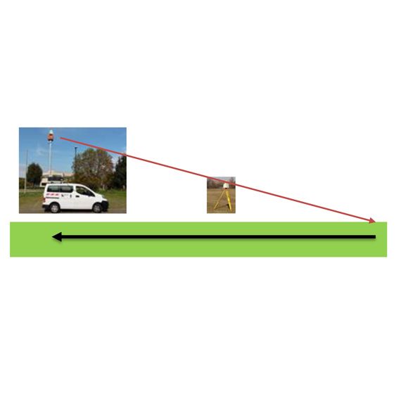
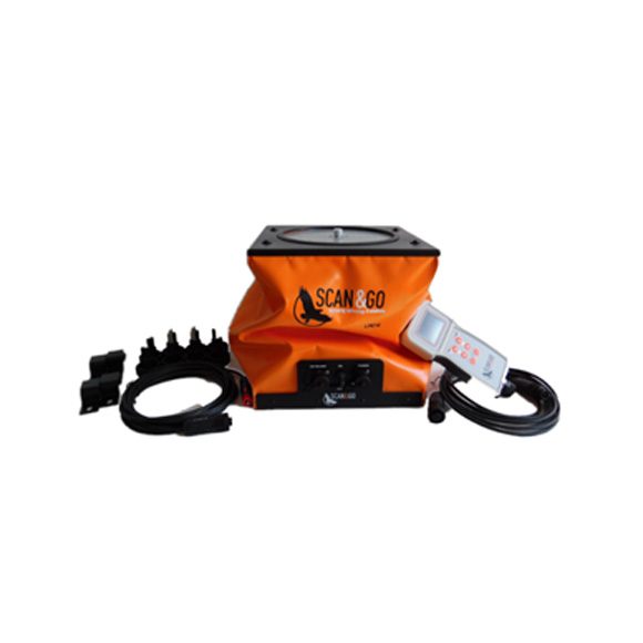
SCAN&GO Level Plane is static multi-axis leveling platform with radio and cable control for 3D Laser Scanner or Robotic Total Stations.
With a growing demand for large volumes of 3D data acquisition, SCAN&GO Level Plane platform technology delivers extraordinary performance for topographic applications.
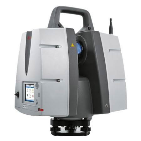
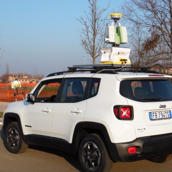
The technological solutions available on the field are two: Terrestrial Laser Scanner and Mobile System. The first solution ensures accuracy and precision but low productivity compared with the mobile system. The second solution guarantees high speed of data acquisition but with less level accuracy and repeatability.
The SCAN&GO system is designed to combine with terrestrial laser scanners. It aims to preserve accuracy and precision of data, optimise logistics during survey phases and to obtain maximum instrument performance.
The heart of the SCAN & GO solution is its leveling system, consisting of an electronic-mechanical combination that enables the user to level the instrument remotely.
Advantages of SCAN&GO Level Plane:
- Can be installed on any vehicle
- Can be used with any model of laser scanner
- Extreme ease of installation
- Surveys time extremely low
- Measurements can be performed by a single operator
- Non-invasive survey
- Restitution of the reality and an excellent accuracy in the positioning of surveyed points