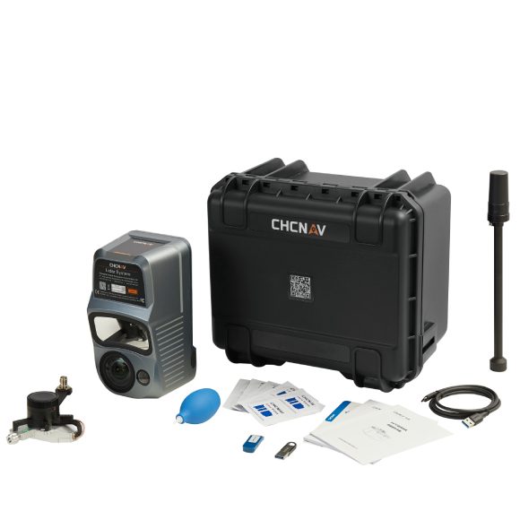
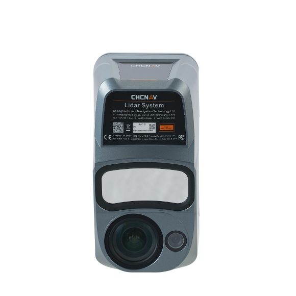
Description
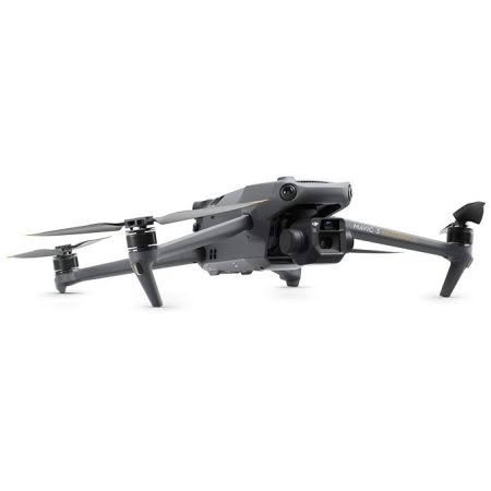
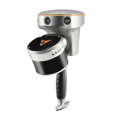
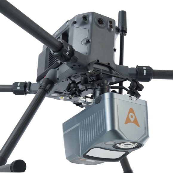
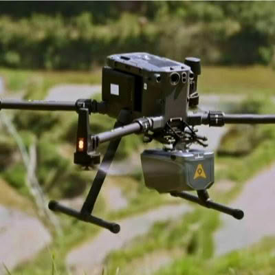
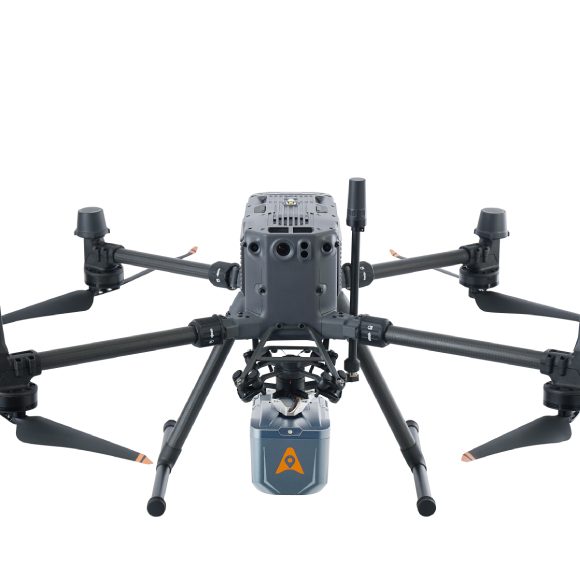
The AA10 features a lightweight, compact design and effortless compatibility with a wide range of UAV platforms. The AlphaAir 10 can detect up to 8 target echoes utilizing advanced multi-target capabilities, greatly enhancing its ability to penetrate dense vegetation and acquire precise ground surfaces.
The AlphaAir 10 Airborne LiDAR + RGB system represents an exciting milestone in aerial surveying technology. Its precision, advanced scanning capabilities, highly efficient data acquisition, and user-friendly design underscore CHCNAV’s commitment to providing innovative 3D reality capture solutions that empower geospatial professionals, Combined with CHCNAV’s point cloud and image fusion modeling software, the AA10 provides an efficient and cost-effective approach to airborne 3D data collection and processing.