Laser Scanner
Showing all 16 results
-
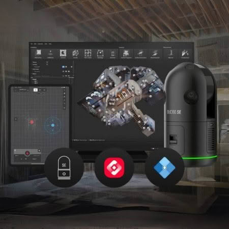
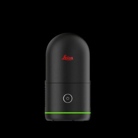
Leica BLK360 SE
Read more -
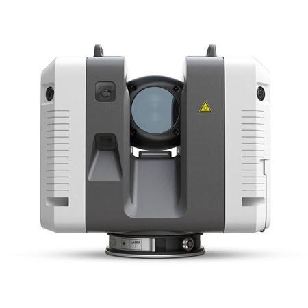
Leica RTC360
Read more -
Leica BLK360
Read more -
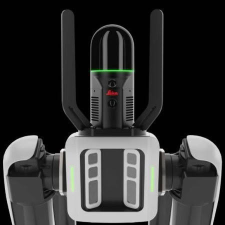
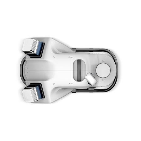
Leica BLK2GO
Read more -
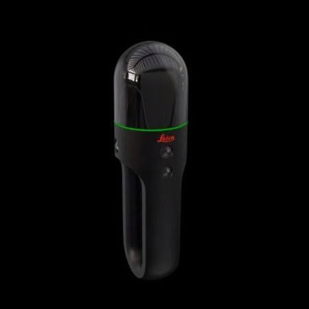
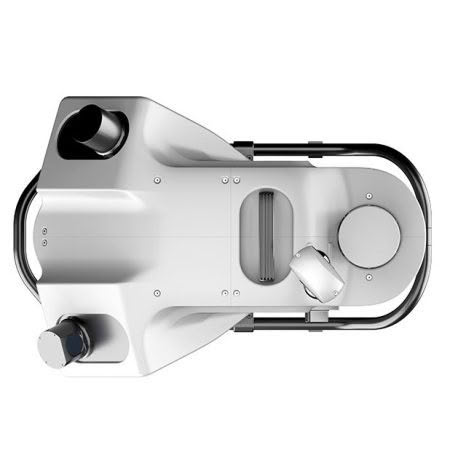
Leica BLKARC
Read more -
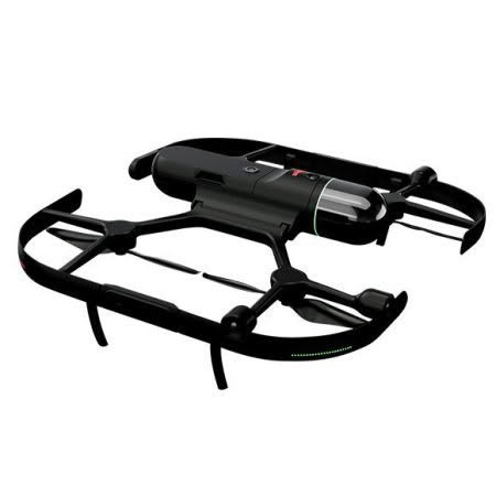
Leica BLK2FLY
Read more -
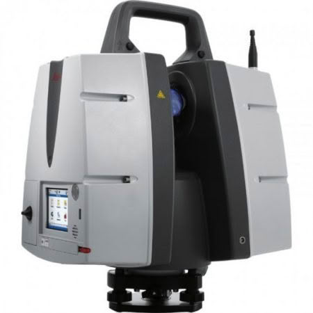
Leica ScanStation P40
Read more -
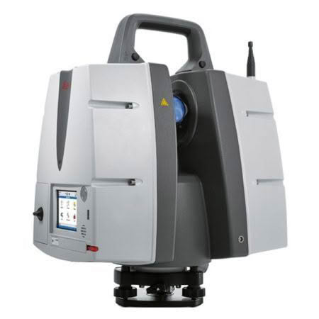
Leica ScanStation P50
Read more -
CHCNAV RS10
Read more -
CHCNAV AlphaAir 9 Airborne LiDAR
Read more -
CHCNAV AlphaAir 10 Airborne LiDAR
Read more -
Leica Pegasus TRK100
Read more -
Leica Pegasus TRK Neo
Read more -
Leica Pegasus TRK Evo
Read more -
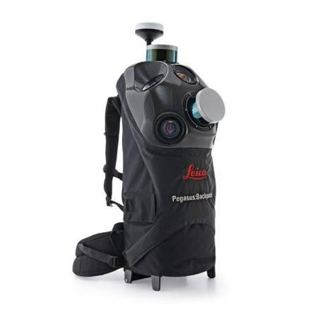
Leica Pegasus: Backpack
Read more -
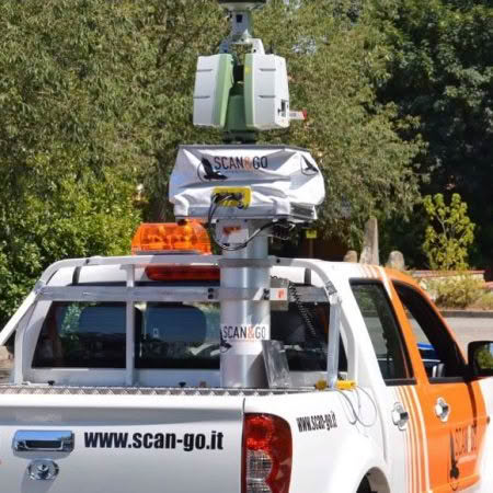
SCAN&GO Level Plane
Read more